 Tweet
Tweet
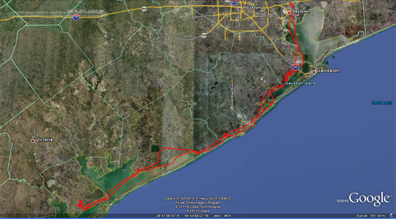
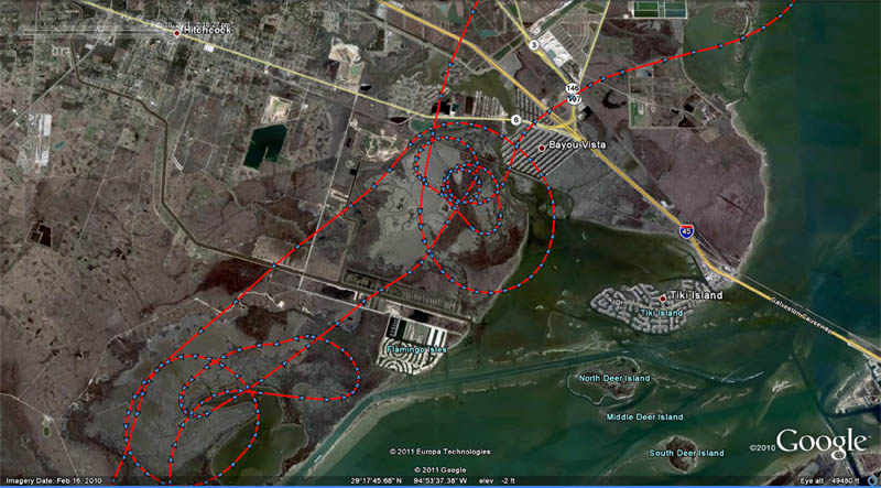
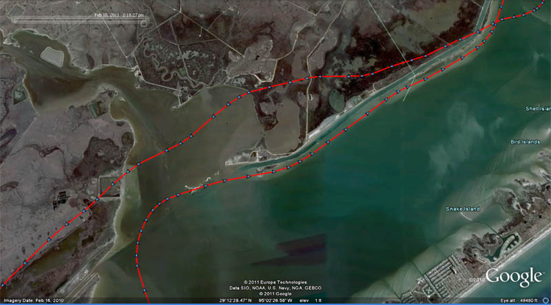
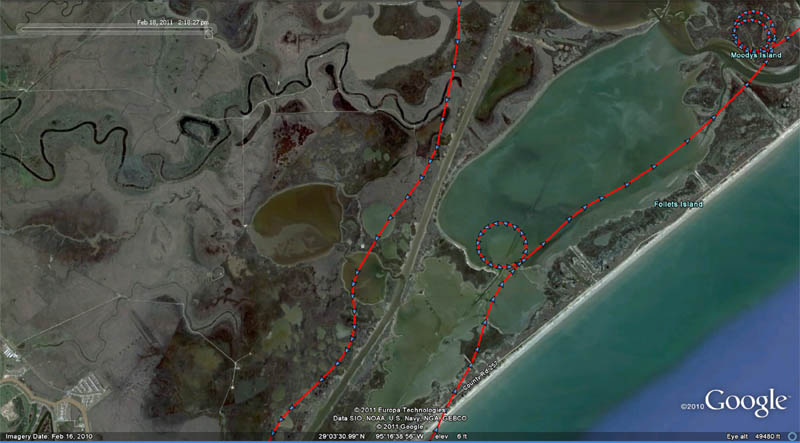
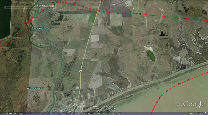
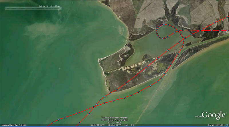
Pictures from the aerial survey that a friend and I did yesterday are online here. The series runs from Highland Bayou down to Charlie's Bait Camp and back. There are not may shots of the Gulf side of the bays because it was fogged in for most of the way down and back.
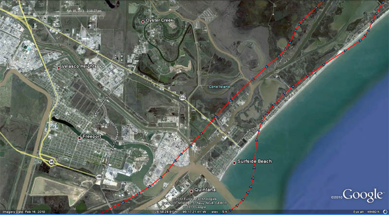
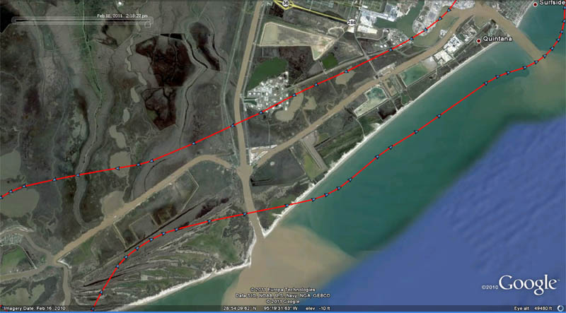
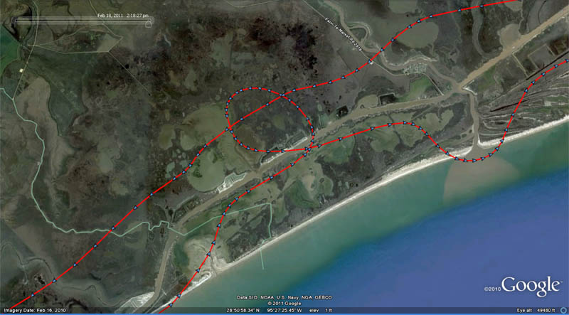
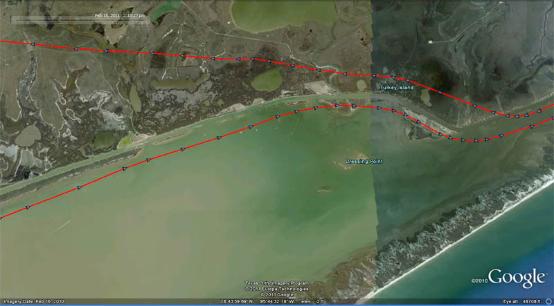
There are too many pics to label the locations. Use Google Earth to figure out where things are. Interestingly, the Google Earth images were taken on February 16, 2010 - almost a year to the day form when we shot these. The water was way low then also, so it is easy to correlate thesephotos to Google Earth.
The is a shot of the West Bay shoreline on the inland side of the bay. Look at how clear the water is!

Here are a couple of shots of Blockade Runners.


There are too many pics to label the locations. Use Google Earth to figure out where things are. Interestingly, the Google Earth images were taken on February 16, 2010 - almost a year to the day form when we shot these. The water was way low then also, so it is easy to correlate thesephotos to Google Earth.
The is a shot of the West Bay shoreline on the inland side of the bay. Look at how clear the water is!
Here are a couple of shots of Blockade Runners.


 COMMUNITY WITH A LARGE
 PROBLEM AND A
  PROBLEM.
Comment